login
You are not logged in.
search:
AMSER logo


Title: Lake Land College GIS Program
Url: https://www.lakelandcollege.edu/guided-pathways/geospatial-technology/
Publisher: Lake Land College
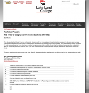
Description: A Geographic Information System (GIS) is a computer visualization technology that stores maps as parts of a database, and allows the user to ask questions about the maps. Currently, GIS is being applied to a wide spectrum of industries such as government, communications, telecommunications, utilities, engineering, natural resource management, forestry-environmental science, health and human services, education, and agriculture. GIS and its database management system have been targeted as a key technology that will impact the state labor market. Students who complete this program will be familiar with industry standard GIS software and have the skills to work with diverse data sets and analysis. This certificate will greatly increase the opportunities for students to compete for professional positions in diverse fields. Lake Land College students enrolled in both technical and transfer curricula in an associate of arts or science degree program would be strongly advised to add this certificate to their degree. GIS technology is being used in many upper division courses in bachelor degree programs such as environmental science (natural resource management), geography, engineering, agriculture, sociology, and life sciences. This certificate would allow many transfer students the opportunity to complete course work in techniques and technologies that will be needed to be successful at the university level.
LC Classification: Education -- Special aspects of education -- Types of education -- Vocational education (General)
Education -- Theory and practice of education -- Higher education -- Institutions of higher education -- Two year institutions -- Community colleges. Junior colleges (Public)
Geography. Anthropology. Recreation -- Geography (General) -- Philosophy. Relation to other topics. Methodology -- Special methods -- Geographic information systems
Technology -- Technology (General) -- Technical education. Technical schools
GEM Subject: Science -- Technology
Science -- Earth science
Social studies -- Geography
Vocational Education -- Technical
Vocational Education -- Tech prep
Key Concept: Geography -- Geographic information systems (GIS)
Resource Type: Reference Material
Instructional Material -- Course
Format: Document -- HTML
Audience: Educator
Learner
Education Level: High School
Higher Education
Higher Education -- Technical Education (Upper Division)
Higher Education -- Technical Education (Lower Division)
Vocational/Professional Development Education
Language: English
Access Rights: Free access
Screenshot
Screenshot
Full Image
Source Type: ATE Center
Source: GeoTech Center
Full Record Views: 20
Resource URL Clicks: 11
Cumulative Rating: NOT YET RATED
Report a Problem with this Resource Record

Resource Comments

(no comments available yet for this resource)

user login
Username:
Password:
why log in?
Manage your resources
Save, organize, and share resources that you find.

Subscribe to bulletins
Automatically be notified about new resources that match your interests.

It's easy, fast, and FREE!
Have a favorite applied math or science site you want others to know about?

SUGGEST a
NEW RESOURCE
to add to AMSER

Copyright 2024 Internet Scout Resource Metadata
Copyright 2024 Internet Scout
NSF NSDL University of Wisconsin Internet Scout
Leave Feedback
http://amser.org/